• How to start a healthy New Year walking habit in 2026
    A bunch of guys out for a winter walk

    Those spontaneous ‘who fancies a bit of a walk’ trips between Christmas and New Year are an ideal way to kick-start a healthy walking habit

    This space between Christmas and New Year (I’m not going to use that cringey word that sounds like a well-known chocolate bar) is the perfect chance for millions of people to explore local walks right on their doorstep.

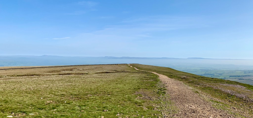
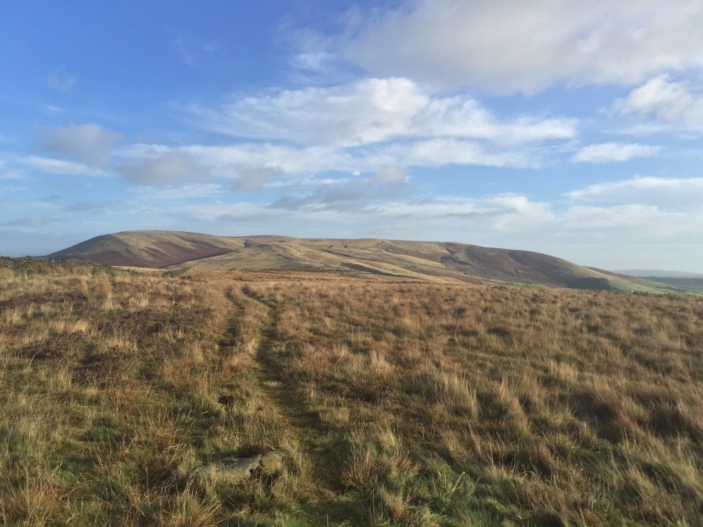
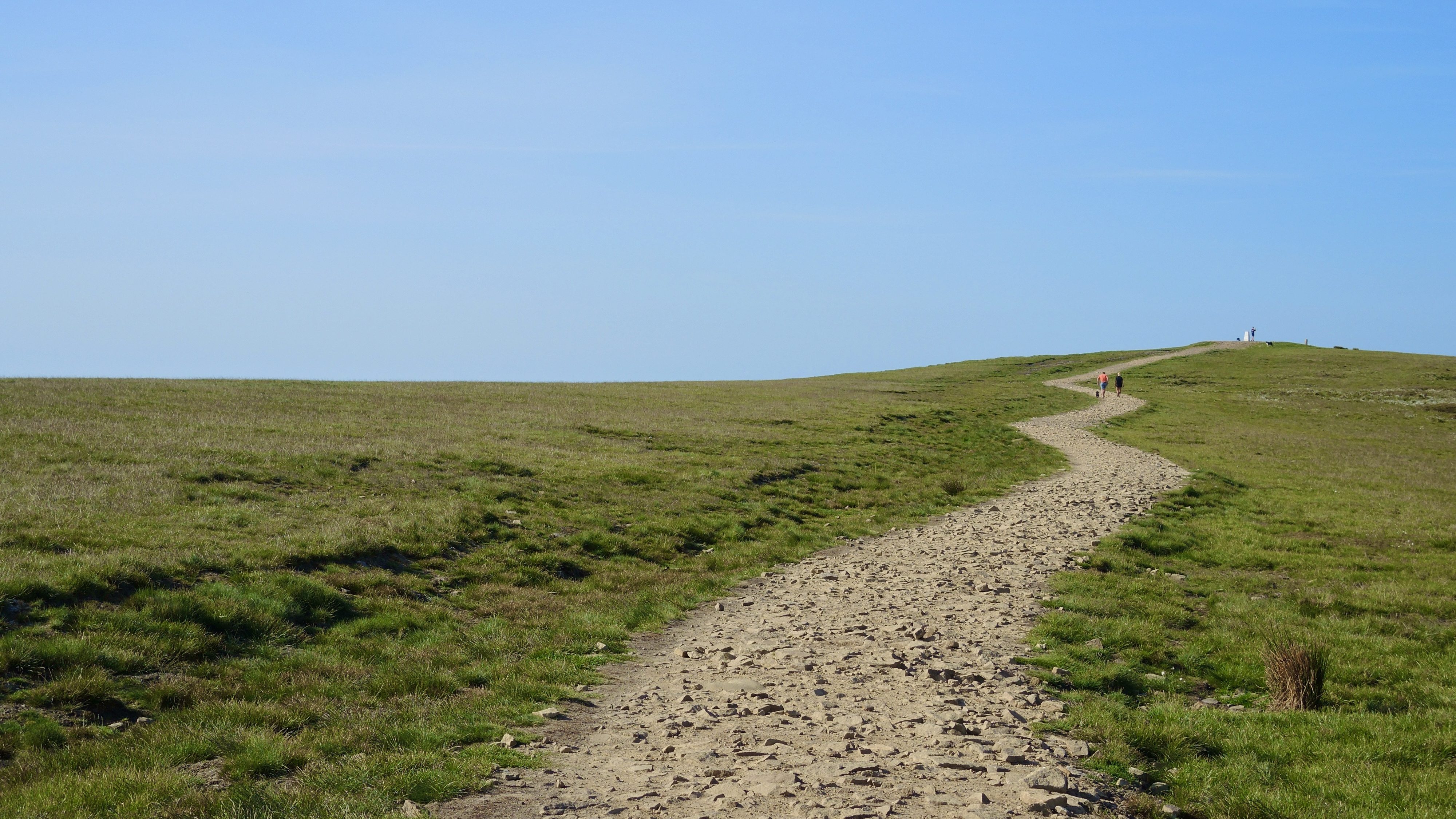
    However tempting a trip to the Lakes or the Dales may be, the roads are busy with sales shoppers and parking in the popular walking spots can be a bit of a nightmare, so it makes sense just to step outside the front door and try a few easy car-free walks on your ‘patch.

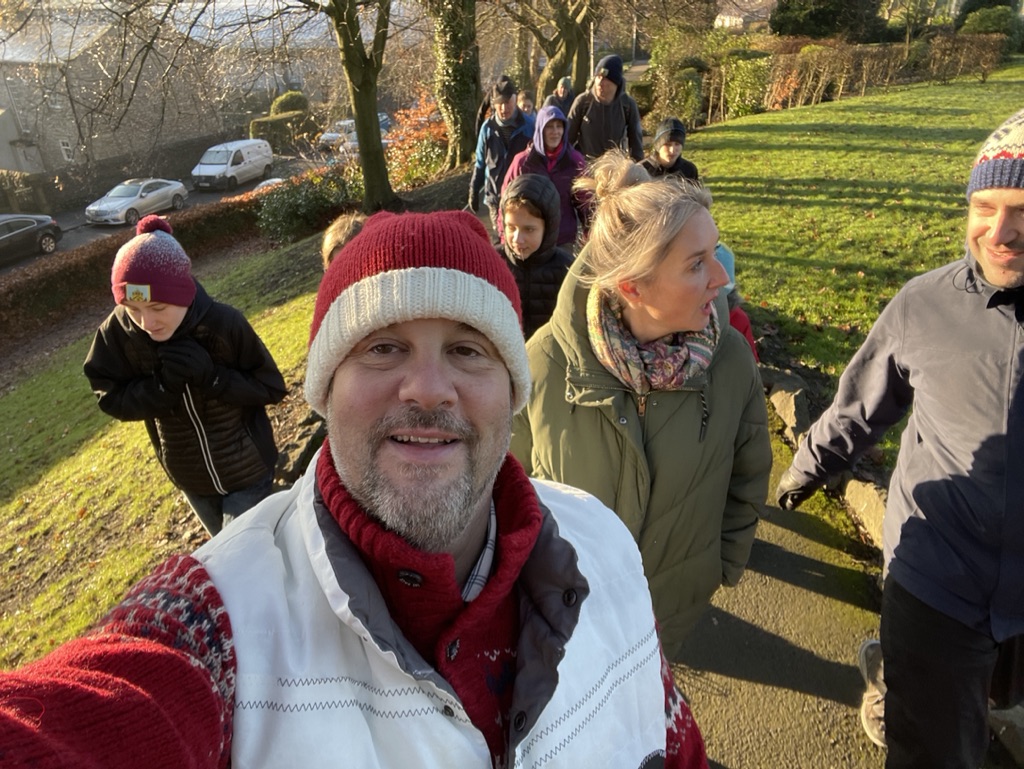
    Personally, I love the spontaneity of those ad hoc holiday hikes. No planning needed – just grab a coat, pull on some wellies, lassoo the dog and you’re good to go. Sometimes you’ll be able to rope in family or friends you don’t often walk with and these random hikes will often throw up some lively conversations.

    Christmas family walk

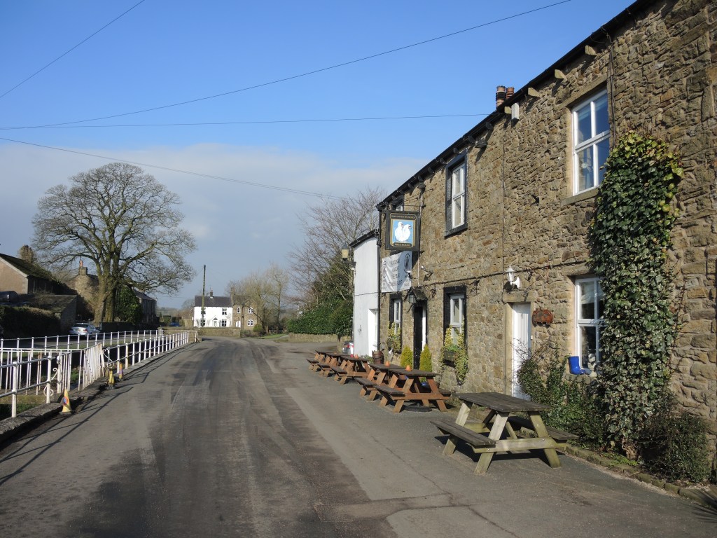
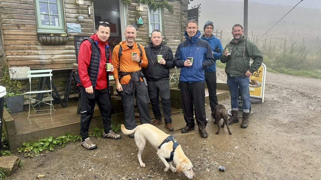
    An impromptu detour to a friendly local pub after you’ve got a few miles under your belt is entirely acceptable during the festive season and without a car to worry about, you can have that second pint with impunity.

    Once you’re back at work, it always seems harder to find the time to get out for a quick local amble, but with a bit of commitment, these easy holiday hikes can become a healthy new habit as your knowledge of the local footpath network improves. After a few weeks exploring your patch on foot, you might start connecting parts of your locality together to create longer walks and maybe even discovering routes in well-lit areas which you can do in the evenings after work.

    Image © Ordnance Survey

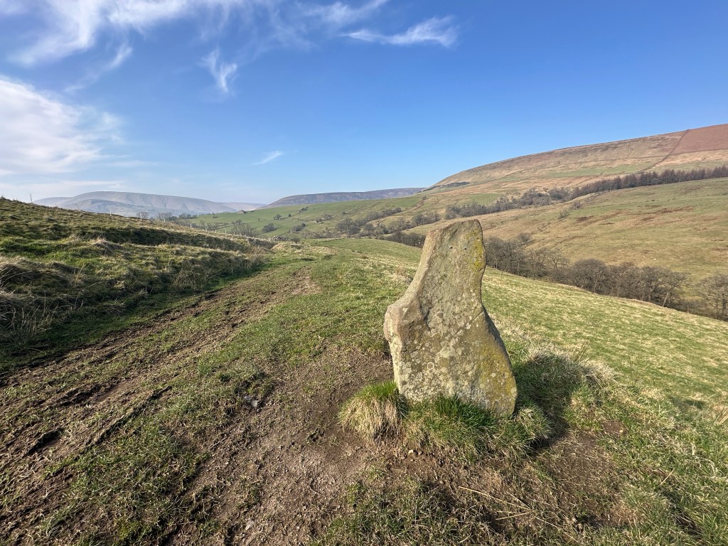
    A brilliant way to embed this healthy new habit is to buy an OS Explorer Map that covers your neighbourhood and commit to walking all the footpaths that start within a mile of your house. You might be surprised how many options exist – even in relatively urban areas – where rivers, canals and parks can create connections between footpaths to link town and country without the need to drive anywhere. You can even order a personalised map centred on your house!

    You can find and buy a paper OS Explorer Map from the OS Map Shop and then start ticking off the routes you’ve completed with a Sharpie Pen. It’s surprising how quickly it gets addictive as your personal footpath network radiates out before your eyes.

    Combine this with your fitness app to log your steps and you’ve got the beginnings of healthy New Year’s walking habit. And if you’re looking for inspiration and accountability to stay on track, it’s also worth checking out Country Walking magazine’s fantastic #Walk1000miles community.

    A selection of Cicerone Press Short Walks guidebooks

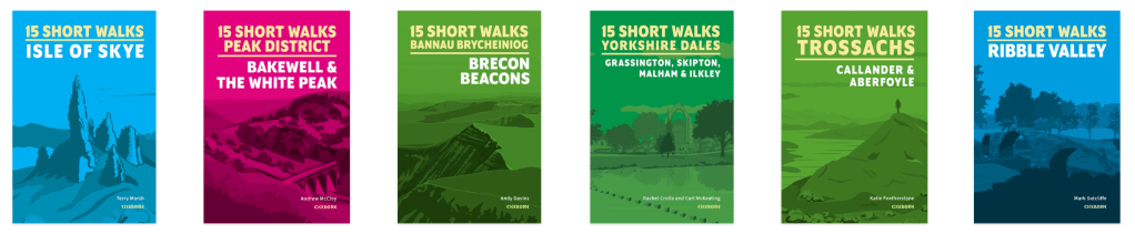
    But if that sounds a bit too technical and you just want to go for an easy local walk that’s been tried and tested by professional walking guides, look out for one of Cicerone Press’s ‘Short Walks’ series that covers your area. These handy pocket-sized guidebooks contain a carefully curated selection of easy local walks with detailed route descriptions, images and mapping.

    Short Walks in the Ribble Valley Guidebook

    Did I mention I’d written one of these Guidebooks? Find it on the Cicerone website here – along with a growing selection of Short Walks guidebooks to popular walking destinations across the nation.

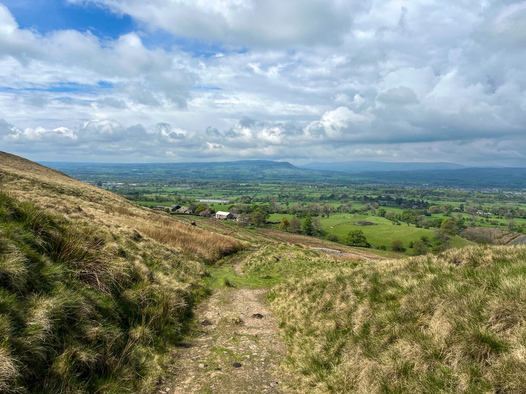
    And here’s a link to an easy circular walk around my hometown for you to try. If you complete the entire circular route, it’s a pretty demanding walk of around 8.5 miles, but the idea is to join the route wherever is convenient and just do as much or as little as you want. Let me know how you get via Insta?

  • Pendle done Proper:
    the classic summit route from Pendleton

    pendle hill summit

    Start/finish: Pendleton Village Hall Car Park
    W3W: ///dispose.tricks.sometimes
    Distance 15.5km (9.6 miles)
    Total ascent 520 m
    Time 4.5 hrS
    Map OS Explorer OL41
    Refreshments: The Swan with Two Necks, Pendleton.
    Public transport: NA.

    Pendle is an icon in the landscape – a totem of Lancastrian pride. Thousands of people will climb it over the festive season and this is my favourite route.

    This challenging circuit starts in the pretty village of Pendleton and follows the main ridge to reach the summit trig on the ‘Big End’, exploring the lesser known crags, cloughs and fissures on the less visited slopes of the hill.

    Make a donation in honesty box and from car park, head east up road, taking track on right before church. Go through squeeze stile to right of The Keep holiday cottage and continue southeast to cross footbridge in top right hand corner of field and continue climbing along lip of shallow valley to cross stile in corner of field.

    Continue south for 100m then left uphill to farmhouse and through gate and over the stile, following white blobs on trees and crossing the furrows on a faint path up to the gate then left along the track over a stile and up to the Nick of Pendle.

    Cross stile, then follow the road over the Nick and southeast downhill for 300m, taking bridleway off to left before cattle grid. Follow bridleway east for 500m to fingerpost then, when the reservoir comes into view continue east on path to Churn Clough through two gates.

    Follow the path as it zig-zags through the secluded little dell and continue traversing above reservoir, follow path as it swings north. Ascend steeply up the eroded path to the rugged outcrop of the Deerstones.

    At the lip of the Deerstones, head northwest to wall then through kissing gate and follow faint track north to join main track along shallow main ridge. Continue northeast, dropping down to the western lip of Ogden Clough. Follow path to the head of the clough then cross beck onto the summit plateau and follow line of ‘paving slabs’ across the peat to the summit. 

    The steep escarpment and sudden opening up of the views northeast come as quite a surprise. It’s often a windswept and exposed place, but the views are worth the effort. 

    The views extend over into Yorkshire and the Three Peaks and over the forest of Bowland and up towards the Lakeland fells on a really clear day.

    From the trig point strike out north to the ladder stile then left heading west on the path to cross another ladder stile. Contour along the edge of the plateau past the shelter to the large memorial cairn, then contour southwest around the top of the clough, aiming for the dilapidated wall visible on the far side. Use this wall as a handrail to reach the top of Ashendean Clough and your route down.

    At cairn by corner of wall, follow path west down nose of Ashendean Clough – ignoring the ‘tank tracks’ to the right. Cross stream and follow it downstream to join footpath down the valley to Howcroft Barn. 

    At barn, cross foot bridge and follow path to next barn then downhill towards Mearley Hall. Cross beck then over stiles and left onto track. Continue to farm, then cross Pendle Road at staggered junction and follow quiet lane back into Pendleton. 

    Walking in Lancashire Guidebook

    This walk is taken from ‘Walking in Lancashire’, Published by Cicerone Press. Buy a copy online to follow this walk and 39 more classic hikes across the county.

  • Explore a snowy sliver of Lapland in Lancashire on this must-do winter walk

    Start/finish: Memorial opposite Rum Fox pub
    W3W: https://w3w.co/nags.wiped.however
    Distance 12.5km (7¾ miles)
    Total ascent 398 m
    Time 3 hr
    Map OS Explorer OL41
    Refreshments: The Rum Fox Inn, Grindleton
    Public transport: Clitheroe Station then number 3 Clitheroe Sawley Circular (every two hours) bus from Interchange.

    Starting out as a pleasant valley stroll, as this route climbs steadily up onto the open fells, the views that unfold are right up there with the captivating vistas of the Dales or the High Peak. The initial ascent offers splendid views back over the Ribble Valley to Pendle and on reaching the highpoint atop Easington Fell, additional vistas open up to the north over the Hodder Valley and into the Yorkshire Dales.

    As this route climbs steadily up onto the open fells, the views that unfold are right up there with the best in the Dales or the High Peak. From the highpoint at the summit of Easington Fell, additional panoramas open up to the north over the Hodder Valley and into the Yorkshire Dales. A must-do route for a crisp, clear winter’s morning.

    From the cross roads at centre of village, walk west to Weavers Cottages then right over stile into Greendale Wood. Follow footpath over footbridge then left to perimeter of wood.

    At edge of wood, continue west along field boundary to farm then over stile and right onto Green Lane. Follow this track for almost two miles as it climbs steadily up onto the fell side.

    In May, the beech woods to the left are a glorious riot of spring colour – shot through with bluebells and ramsons and echoing to a rousing chorus of birdsong.

    Beyond farmhouse, ignore first farm track off to left, but take second left, climbing again towards Simpshey Hill.  Beyond Cob Manor, Simpshey appears ahead. Through gate at top of track, take stile left and follow path downhill, across footbridge, before climbing half left past ruined barn.

    Join grassy track following bridleway as it the skirts the base of hill and continues climbing north to turn left onto gravel logging track. Track climbs past a conifer plantation up onto the open fellside to a cairn on the skyline.

    In springtime, this is one of the best places in Lancashire to listen out for the increasingly elusive cuckoo calling from the surrounding hillsides. Also look out for spotted flycatchers and the mercurial merlin.

    From cairn, head half left to corner of plantation, following faint path northeast along edge. Climb over rusty gate with care and head over the tumbledown wall then follow it northeast for 400m. To the north, the Bowland Fells loom large and once over the brow, the Yorkshire Three Peaks suddenly appear.

    Follow wall around plantation as it winds back southeast then, where gradient eases, head half left to gate then left on permissive path alongside wall heading southeast. After walk ends, continue to corner of field and right over the stile to continue east on permissive path then half right following firebreak into plantation.

    At far edge of plantation, join the wonderfully named Shivering Ginnel, heading southeast. Continue straight over the stile, heading for the trig point on Beacon Hill. Footpath passes to left of trig and continues to lane. Turn right taking stile on left after 300m and across field to stile then onto track briefly before taking footpath through first gate on right after cattle grid.

    Shivering Ginnel is so named owing to its alignment which allowed cold north-easterly winds to whistle through this wide gap in the trees and chill unfortunate local shepherds and other travelers along this ancient track.

    Follow faint path well to right of barn to ladder stile in corner of field then along footpath past farmhouse, then left into the drive and across the lawn of the second property and over the stile in the corner.

    Continue over stile downhill into corner of field, then over stiles and footbridge, continuing south over the fields to grassy track heading right above Far Lathe. Follow this southwest to edge of village then at back yard of the first house, turn left and follow footpath downhill. Continue down back streets then right to centre of village.

    Walking in Lancashire Guidebook

    This walk is taken from ‘Walking in Lancashire’, Published by Cicerone Press. Buy a copy online to follow this walk and 39 more classic hikes across the county.

  • Back on the hill in Bowland
    A waymarker stone in the Forest of Bowland National Landscape

    Every journey starts by taking a single step, so at the weekend, I made a start on my next book for Cicerone Press with a glorious spring walk in the Forest of Bowland.

    There’s a word for these magical moments, apparently: apricity and so it was on the first sunny morning of spring, I bounced out of bed, lassooed the dog and headed into my happy place: the beautiful Forest of Bowland.

    Formerly known as an Area of Outstanding Natural Beauty, the Forest of Bowland National Landscape is a 300-square mile tract of unspoiled upland wildness spanning rural north Lancashire and a bit of the Yorkshire Dales. It also has a southern outlier in the shape of whaleback massif of Pendle Hill – separated from the rest of the National Landscape by the River Ribble – yet sharing the qualities of its parent.

    Now I love walking in the Lakes, or the Dales and pretty much every protected landscape in Britain, but when you just need to get a quick fix, driving 70 miles and searching for somewhere to park kind of takes the edge out of the experience.

    I’d rather put the effort into finding a new route and breaking new ground in my backyard, and here’s the thing with the Forest of Bowland – there are always new routes to explore – and for me, this was one of them.

    Admittedly, it was quite early (for a Sunday) when I parked up and headed off. During the course of the morning’s walk, we encountered a grand total of five other people, a pony and a couple of dogs.

    Overhead, the calling of curlews prospecting for their nesting territory was constant, while in the valleys, the noisy bickering of oystercatchers was punctuated by indignant honking from a gaggle of geese.

    Over the next 18 months or so, this will be my reality: working during the week and maybe sneaking out for the odd afternoon to recce routes for the new guidebook. I say new, but it’s actually an update of an existing edition first written by legendary Cicerone writer Terry Marsh – author of some 16 guides featuring hundreds of routes across the British Isles.

    Walking in The Forest of Bowland & Pendle Guidebook by Terry Marsh Cicerone Press

    I’ll be re-walking Terry’s tried and tested routes and updating them to take account of changes to the access and adding a few new routes to keep things fresh and interesting. And it’s those new routes that will provide the real excitement.


    Along the way, there will be a few false starts, wrong turns and navigational conundrums to negotiate, but that’s the deal for a guidebook writer: we put in the legwork, so you don’t need to. We’re the ones who get stuck in bottomless bogs, lost in the woods, or chased out of farmyards by crazy collies. But we also get to see spectacular new views, find new ways to connect local towns and villages and sample cake, coffee, pies and a pints.

    It all goes with the territory… and I wouldn’t have it any other way.

    See you out on the hill sometime…

    • Got any suggestions for walking routes in the Forest of Bowland or Pendle which should be included? Get in touch!