We create bespoke walking routes for rural businesses who want to provide reliable self-guided walking routes for their guests
Our guided route service includes a field recce, photography, mapping, easy-to-follow turn-by-turn route descriptions and – if required – short videos for promotional purposes.
Our clients for this increasingly popular service include local authorities, Destination Marketing Organisations, Local Visitor Economy Partnerships, (LVEPs) and businesses who want to offer self-guided walks for their visitors and guests.
We can also upload the route to leading route sharing platforms such as Strava, OS Maps and OutdoorActive. This enables potential guests to identify your business as walker-friendly and allows you to share links with guests so they can study the routes before they visit Bowland.
We specialise in the Ribble Valley and Forest of Bowland National Landscape, where we are based, but with more than a decade’s experience, we also design self-guided walking routes for an increasing number of clients nationwide.
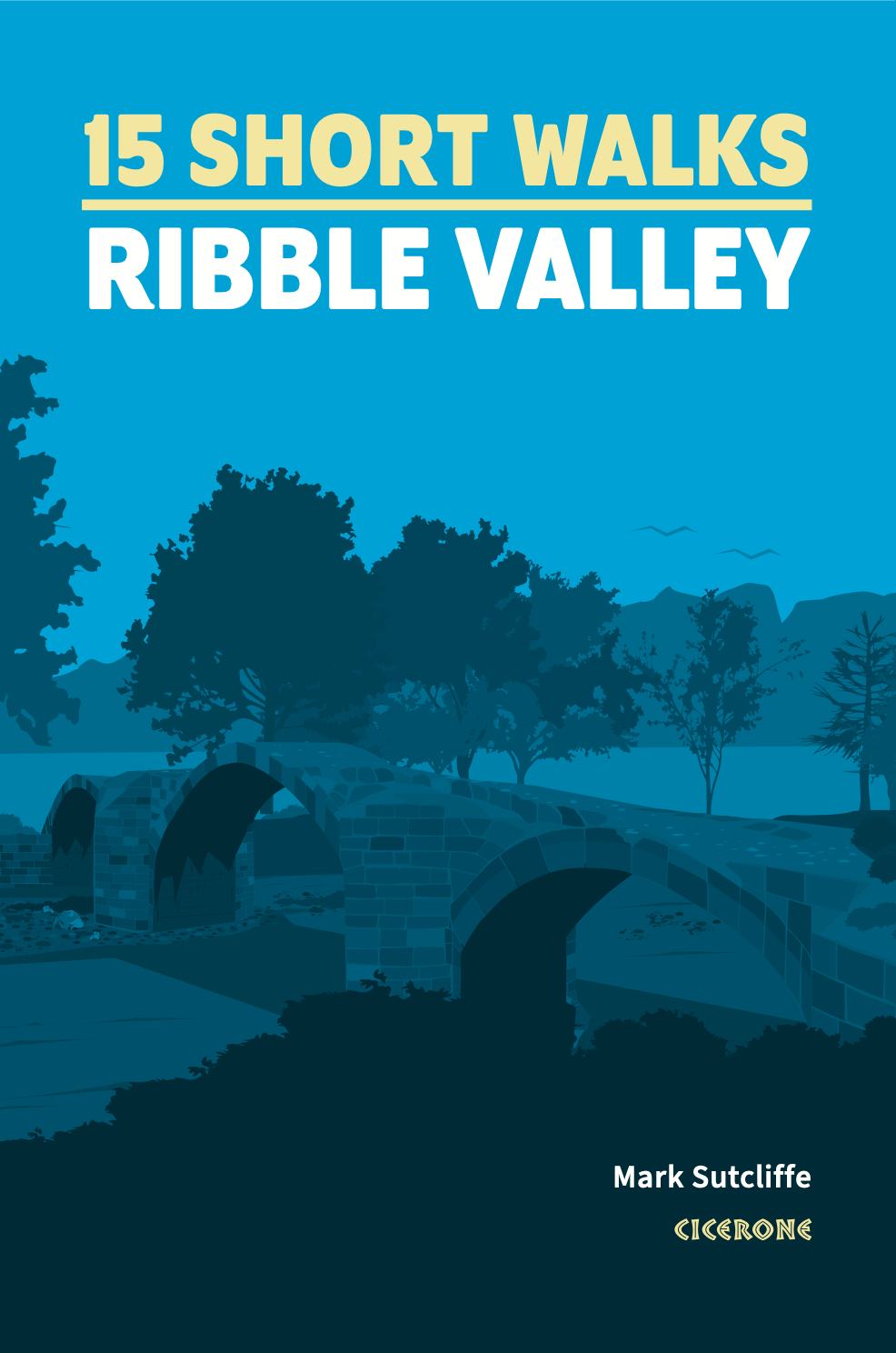
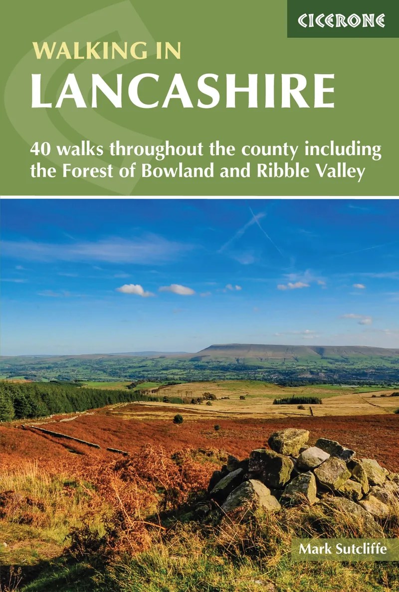
We publish to a professional standard and have produced two guidebooks for respected outdoor publishers Cicerone Press.
Case Studies
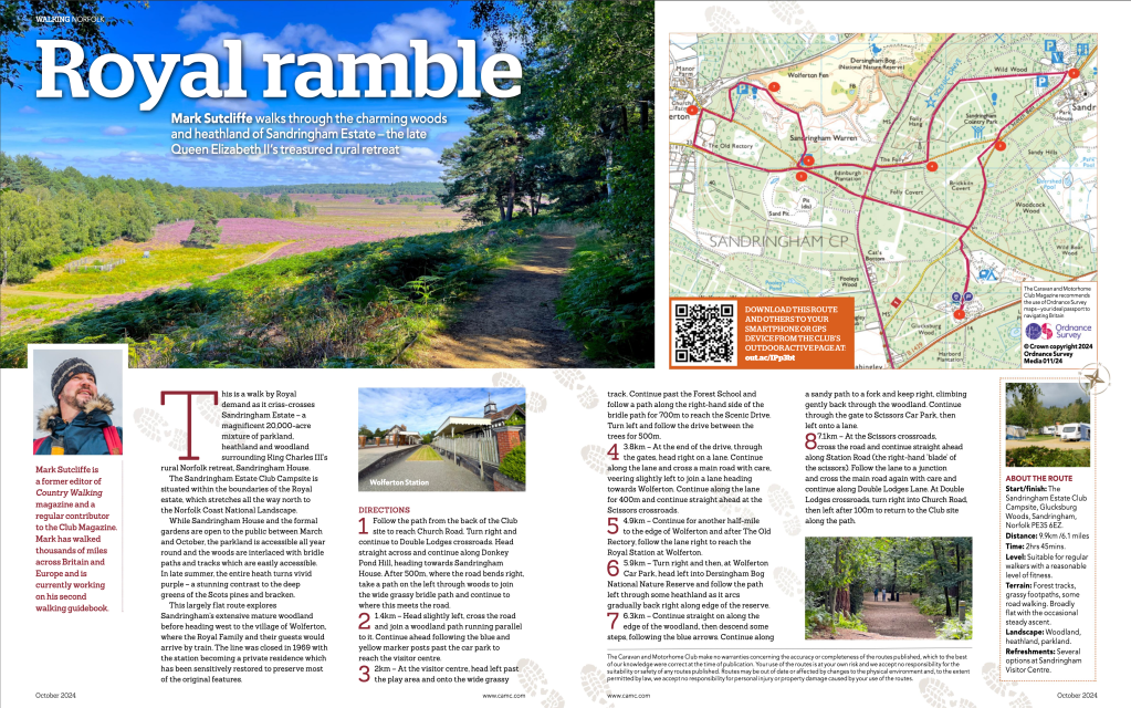
Bespoke walking routes for the Caravan and Motorhome Club
Click on the images above to see the routes on the OutdoorActive website
We were commissioned by the Caravan and Motorhome Club to produce a series of bespoke routes allowing guests to walk direct from the caravan site gate to explore the local area on foot. This has proved especially popular with the motorhome community, allowing them to leave their vehicle on the pitch at their site and simply walk direct from the site gate.
Working with OutdoorActive, we produce a fully digitised version of the route with precision mapping for sharing via website, App, or printable PDF. The routes also appear in the Caravan and Motorhome Club’s member magazine.
The Club is also encouraging their members to make use of these routes to minimise their carbon footprint while staying on site and walk – or where bridleways are available – cycle to the nearest town, village or visitor attraction.
- Here’s an example of how a self-guided walking route could appear on your website.
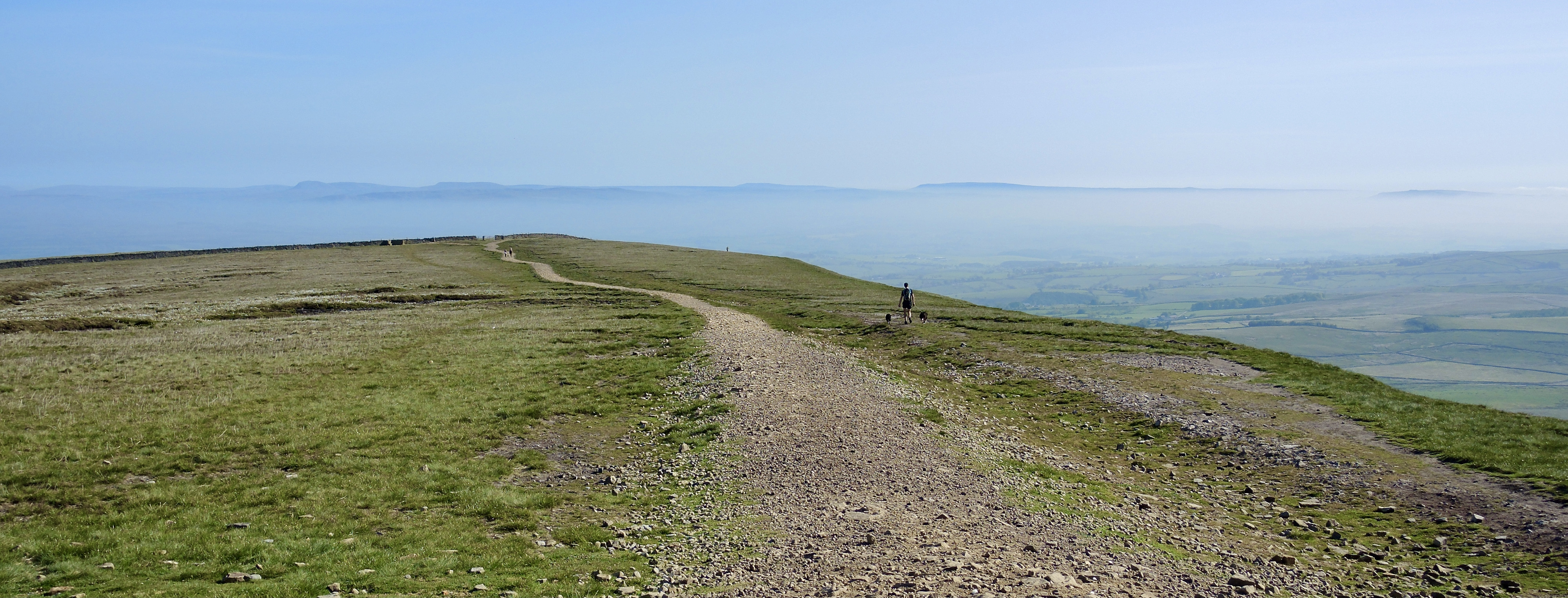
Surprise View from Hurst Green
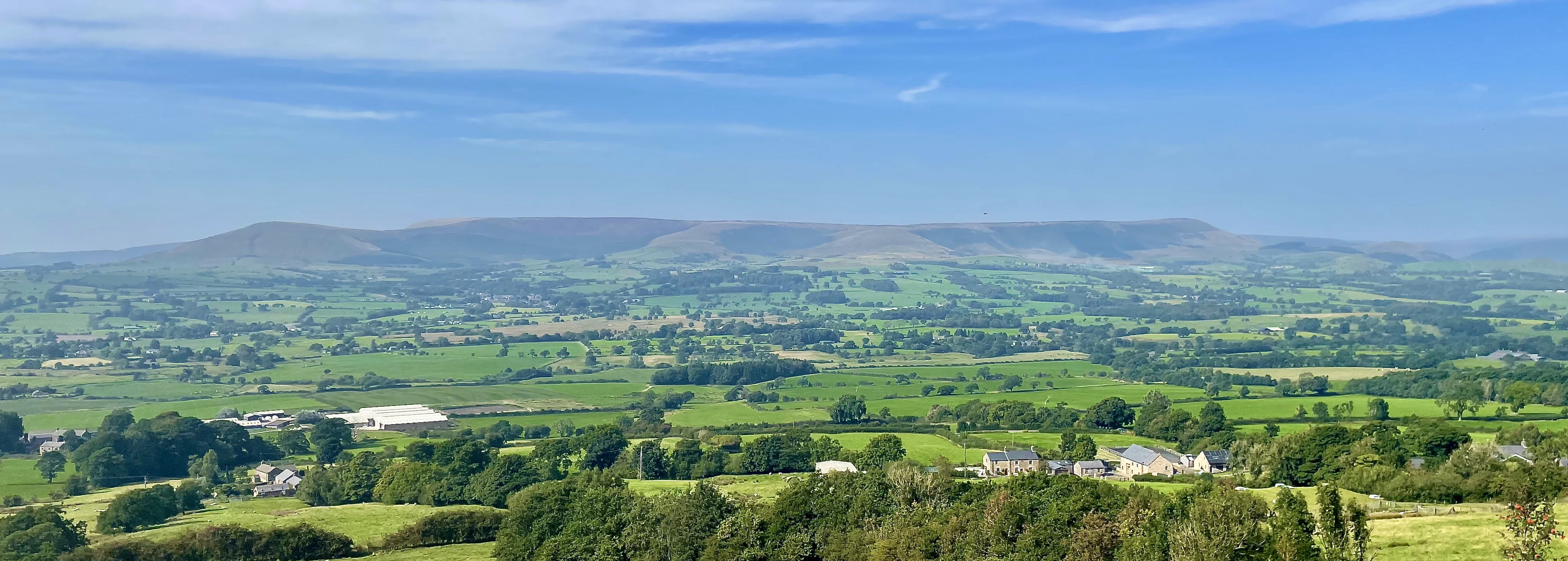
This 7½-mile circular route provides one of the most magical views in Lancashire for keen walkers who don’t mind a bit of a climb. It’s a rich reward at the half-way point of what is quite a challenging walk – and the good news is it’s pretty much downhill all the way back to the pub!
Fact file
How far? 7.4 miles/11.9km
How long? 4 hours
How hard? Pretty challenging – a long, steady climb on quiet lanes, footpaths and forest tracks and the occasional boggy stretch
Which maps? Maps: OS Explorer OL41, OL287 OS Landranger 103
Start/parking: Avenue Road, Hurst Green
Grid Reference SD 685378
Cross the rickety stile and take the path N into plantation. After a couple of hundred yards, you emerge into a clearing, with a dry stone wall in front of you. Climb the wall and the amazing views of the Forest of Bowland open up before you – this is the surprise view we promised you.
Head E on the N side of the wall to the white trig point. From here, continue E, crossing the wall via a kissing gate and heading back towards the plantation on the S side of the wall. Follow path into conifers and descend through the trees, jinking right before meeting a well-defined track which continues E again.
Ignore first track and follow way-markers to another little clearing and another spectacular vista – your last chance to enjoy the view over the Hodder Valley and Bowland Fells before heading back down into the Ribble Valley. Continue E for 25 yards after clearing then take path R as per way-marker and continue SE through trees, ignoring path off to L, crossing another forest track, over some clear-felled land and back into the woods, staying L of the deep quarry lagoon.
At road, head L for 20 yards then R over stile and along right hand field boundary to gate then half L over field to stile above Fell Side Farm and down through paddock to gap in fence on Left, then through two gates and down the track between houses. Cross the field and drop into little gulley, following the stream downhill. You may have to cross the stream a few times to avoid muddy sections or fallen trees. At the cottage, go through a metal gate to join the road.
At junction, head L following signs to Stonyhurst main entrance. Follow the road past the golf club and downhill to the impressive avenue leading up to the college. At the main school gates, turn R and out along the avenue.
Follow the avenue round to the L and back down Avenue Road, into the village and back to the Shireburn Arms for a well-earned drink!
