Pendle done Proper:
the classic summit route from Pendleton
Start/finish: Pendleton Village Hall Car Park
W3W: ///dispose.tricks.sometimes
Distance 15.5km (9.6 miles)
Total ascent 520 m
Time 4.5 hrS
Map OS Explorer OL41
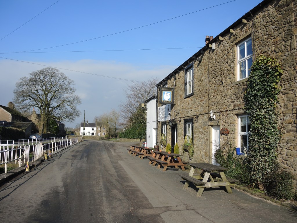
Refreshments: The Swan with Two Necks, Pendleton.
Public transport: NA.
Pendle is an icon in the landscape – a totem of Lancastrian pride. Thousands of people will climb it over the festive season and this is my favourite route.
This challenging circuit starts in the pretty village of Pendleton and follows the main ridge to reach the summit trig on the ‘Big End’, exploring the lesser known crags, cloughs and fissures on the less visited slopes of the hill.
Make a donation in honesty box and from car park, head east up road, taking track on right before church. Go through squeeze stile to right of The Keep holiday cottage and continue southeast to cross footbridge in top right hand corner of field and continue climbing along lip of shallow valley to cross stile in corner of field.
Continue south for 100m then left uphill to farmhouse and through gate and over the stile, following white blobs on trees and crossing the furrows on a faint path up to the gate then left along the track over a stile and up to the Nick of Pendle.
Cross stile, then follow the road over the Nick and southeast downhill for 300m, taking bridleway off to left before cattle grid. Follow bridleway east for 500m to fingerpost then, when the reservoir comes into view continue east on path to Churn Clough through two gates.
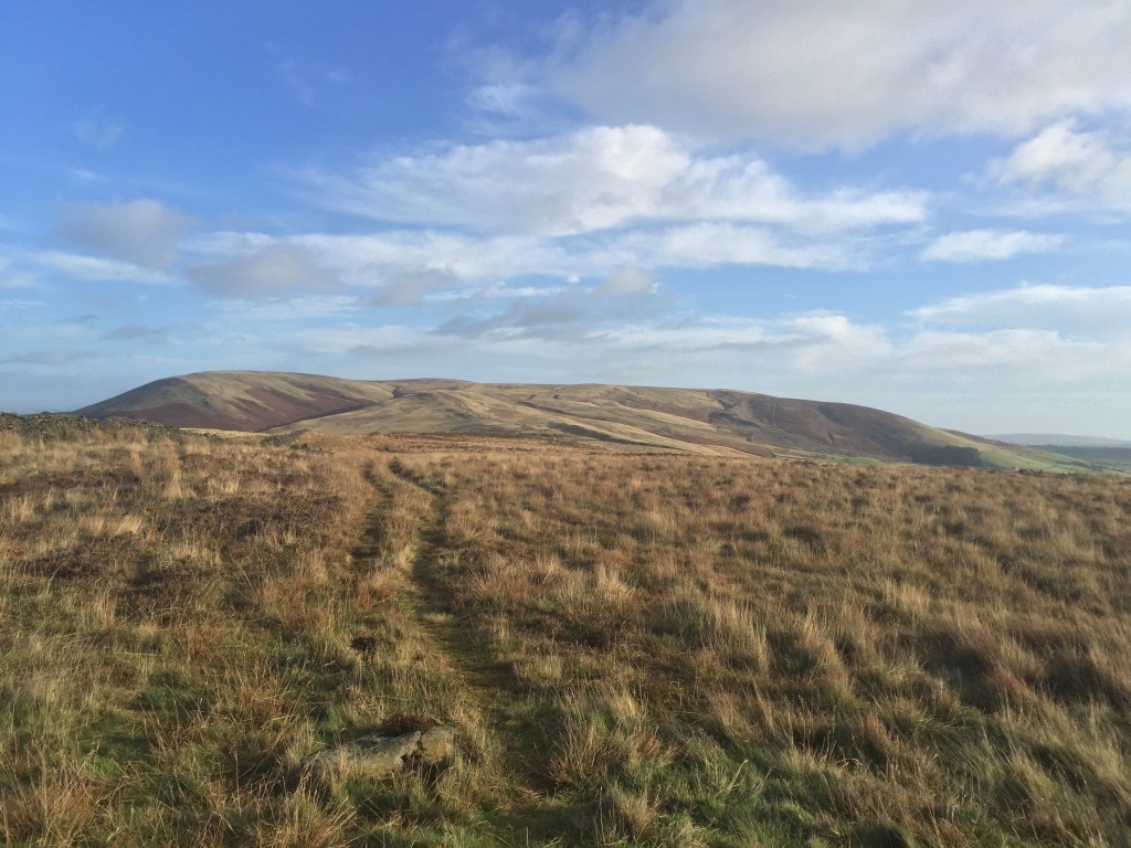
Follow the path as it zig-zags through the secluded little dell and continue traversing above reservoir, follow path as it swings north. Ascend steeply up the eroded path to the rugged outcrop of the Deerstones.
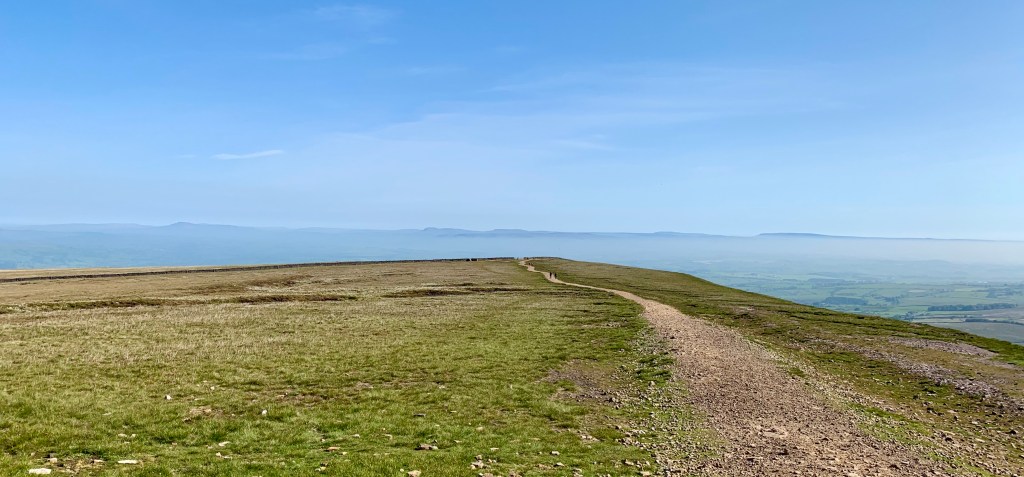
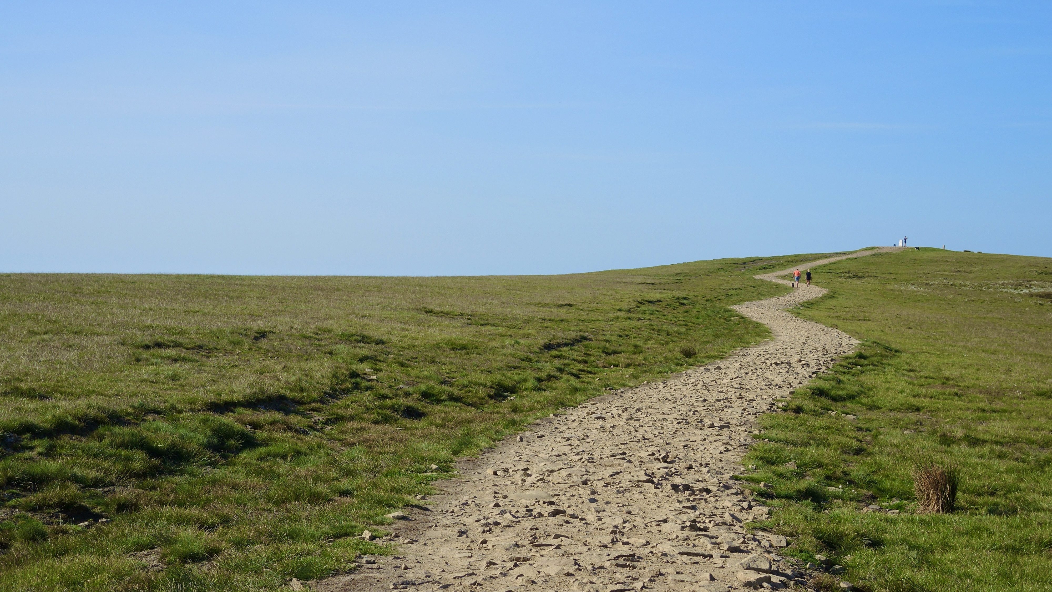
At the lip of the Deerstones, head northwest to wall then through kissing gate and follow faint track north to join main track along shallow main ridge. Continue northeast, dropping down to the western lip of Ogden Clough. Follow path to the head of the clough then cross beck onto the summit plateau and follow line of ‘paving slabs’ across the peat to the summit.
The steep escarpment and sudden opening up of the views northeast come as quite a surprise. It’s often a windswept and exposed place, but the views are worth the effort.
The views extend over into Yorkshire and the Three Peaks and over the forest of Bowland and up towards the Lakeland fells on a really clear day.
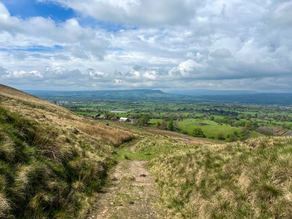
From the trig point strike out north to the ladder stile then left heading west on the path to cross another ladder stile. Contour along the edge of the plateau past the shelter to the large memorial cairn, then contour southwest around the top of the clough, aiming for the dilapidated wall visible on the far side. Use this wall as a handrail to reach the top of Ashendean Clough and your route down.
At cairn by corner of wall, follow path west down nose of Ashendean Clough – ignoring the ‘tank tracks’ to the right. Cross stream and follow it downstream to join footpath down the valley to Howcroft Barn.
At barn, cross foot bridge and follow path to next barn then downhill towards Mearley Hall. Cross beck then over stiles and left onto track. Continue to farm, then cross Pendle Road at staggered junction and follow quiet lane back into Pendleton.

This walk is taken from ‘Walking in Lancashire’, Published by Cicerone Press. Buy a copy online to follow this walk and 39 more classic hikes across the county.

Leave a comment